Task-Specific Operator Training: Critical Flight Modes for Agriculture, Construction, and Inspection
5 July 2026
The commercial drone industry has evolved far beyond basic aerial photography. Today, Unmanned Aerial Vehicles (UAVs) are complex industrial tools used for precision agriculture, detailed infrastructure inspection, and large-scale construction mapping. As the applications become more specialized, so do the training requirements for drone operators.
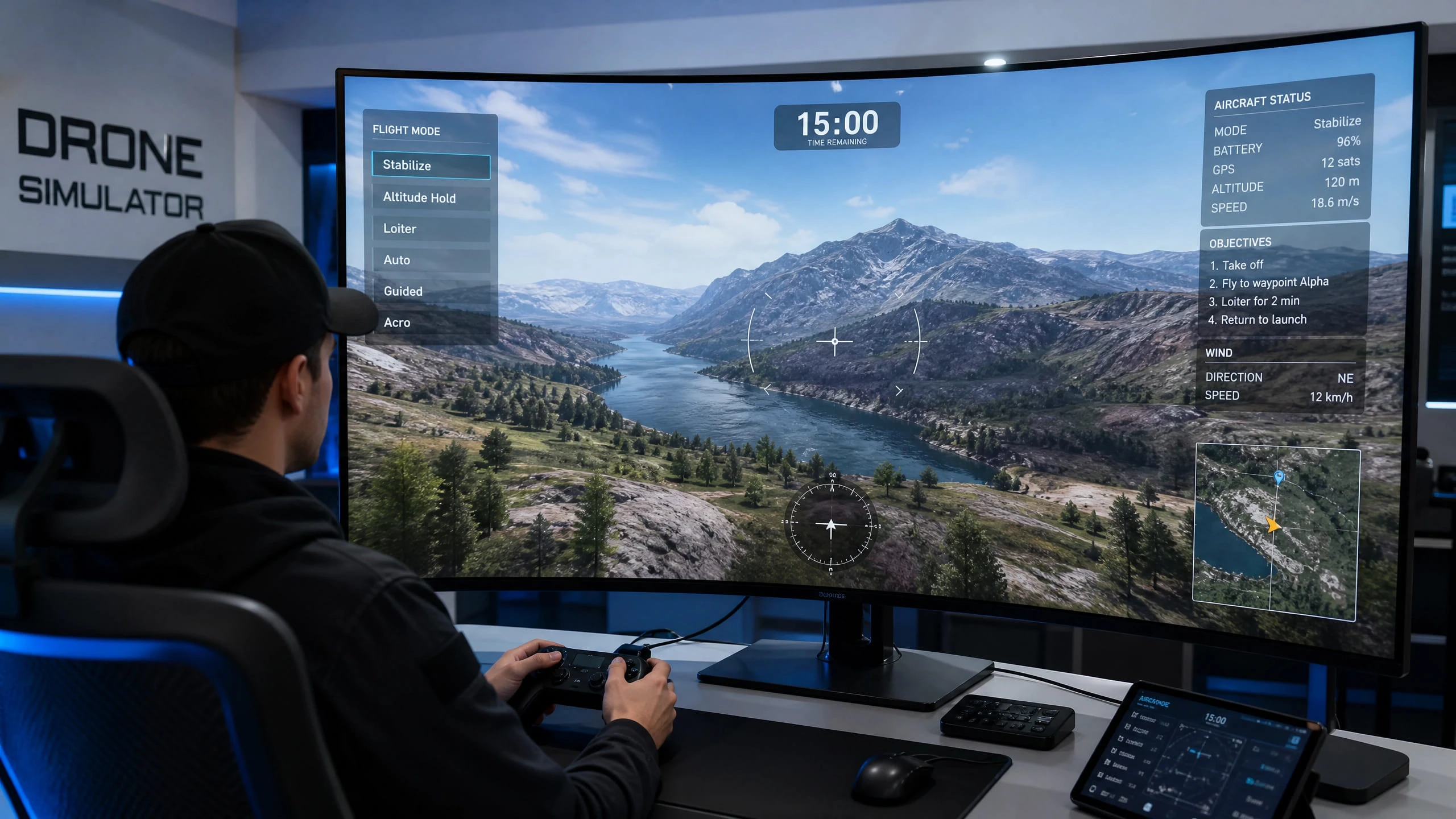
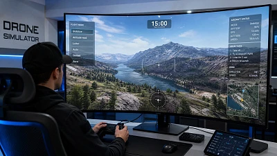
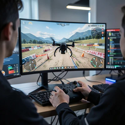
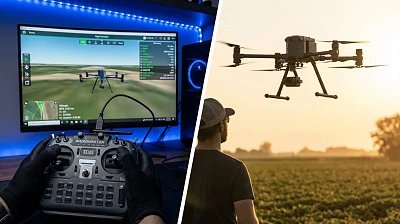
A "one size fits all" approach to pilot training is no longer sufficient. Operators must understand how to utilize specific flight modes and mission planning software tailored to their industry. This is where a professional drone flight simulator, such as the UAVProf Drone Simulator, becomes critical, allowing pilots to practice complex, industry-specific scenarios before ever putting a real drone in the air.
Agriculture: Precision and Autonomous Spraying
In modern agriculture, drones like the DJI Agras series are utilized for crop spraying, multispectral mapping, and field analysis. The primary goal here is efficiency and precision.
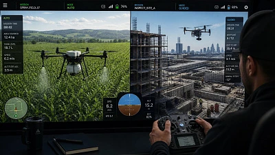
Critical Flight Modes: Agricultural operations rely heavily on Auto Mode and Terrain Follow Mode. Operators rarely fly these massive drones manually over a field. Instead, they use mission planning software to map out a grid. The drone then flies autonomously, maintaining a precise altitude above the crops regardless of the changing terrain below.
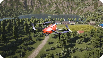
Simulator Training Value: Training for agricultural missions involves mastering the mission planning interface and understanding how to handle abnormal situations. In the UAVProf Simulator, pilots can load the "Agricultural Site" mission. Here, they can practice creating automated flight paths, adjusting spray rates based on speed, and simulating emergency takeovers if the drone encounters an unexpected obstacle or loses GPS signal.
Construction and Surveying: Photogrammetry and Mapping
Construction companies utilize drones for topographic surveying, volume calculations of stockpiles, and tracking site progress. This requires capturing hundreds of overlapping high-resolution images that are later stitched together into 3D models.
Critical Flight Modes: Similar to agriculture, Waypoint Navigation and Grid Flight modes are essential. However, the focus here is on precise camera control, overlap settings, and maintaining consistent altitude to ensure the photogrammetry software has accurate data. Point of Interest (POI) mode is also frequently used to orbit structures and capture detailed 3D facades.
Simulator Training Value: A mistake in data collection means the entire flight must be repeated, wasting valuable time. The UAVProf Simulator includes missions like "Construction site excavation aerial photography." Operators can practice setting up grid missions, ensuring the correct front and side image overlap, and integrating with tools like the QGroundControl emulator included in the Professional License.
Industrial Inspection: Close-Quarter Manual Control
Inspecting cell towers, wind turbines, bridges, and oil refineries is arguably the most demanding commercial drone application. Pilots must fly close to complex metal structures, often in areas with high electromagnetic interference that can disrupt GPS signals.
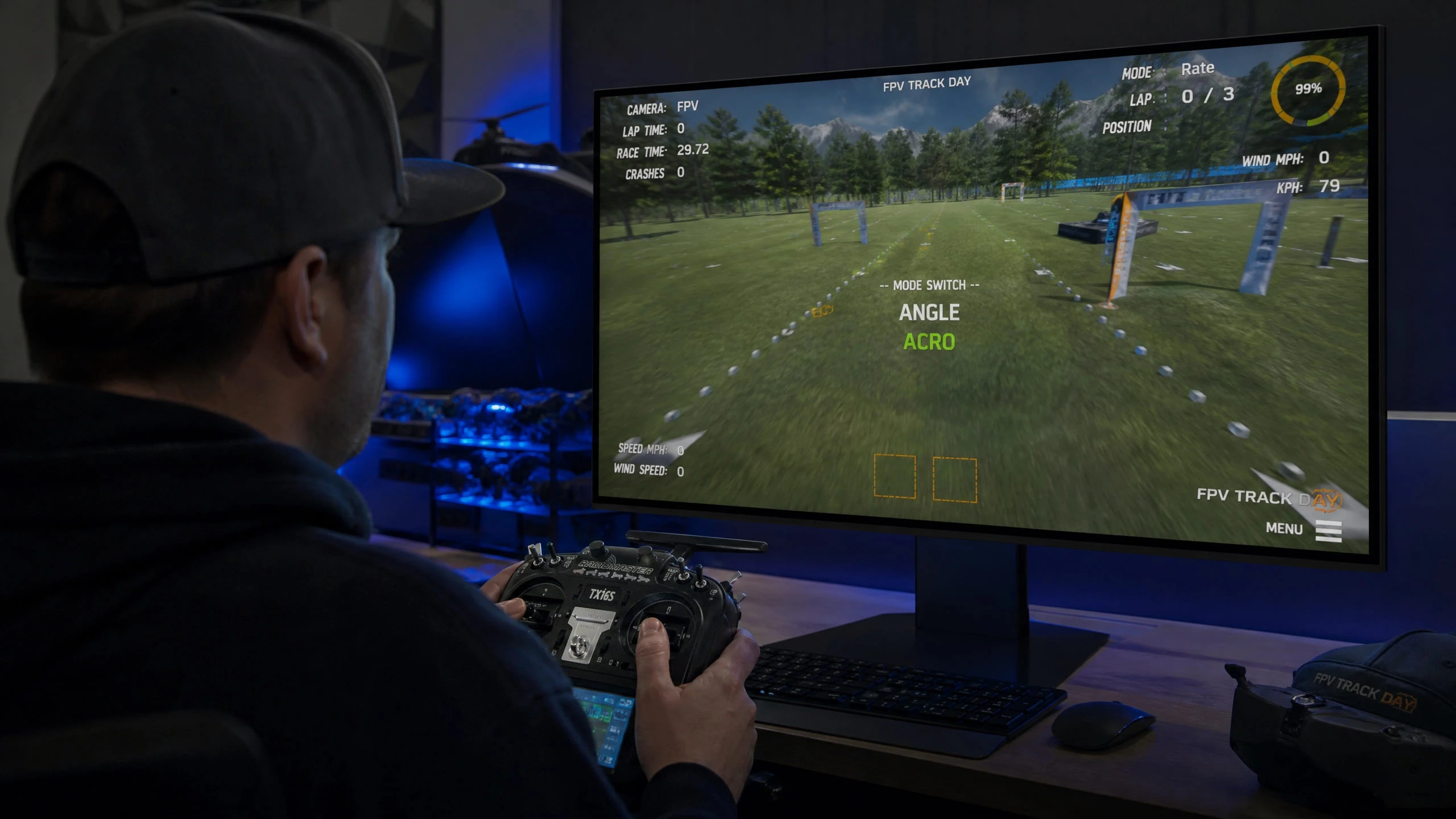
Critical Flight Modes: While autonomous modes are used for broad mapping, detailed inspection requires absolute manual precision. Pilots must be proficient in Attitude (ATTI) Mode (where the drone maintains altitude but drifts with the wind, as GPS stabilization is turned off) and sometimes even Acro Mode for maximum control authority in tight spaces.
Simulator Training Value: Practicing close-quarter inspections in the real world is incredibly high-risk. A crash could damage expensive infrastructure or the drone itself. Using the UAVProf Simulator's "Industrial Race" or "Polluted Coast" environments, pilots can practice flying near structures, managing wind drift in ATTI mode, and maintaining visual line of sight while capturing detailed inspection imagery.
Reconnaissance and Search & Rescue: Situational Awareness
Reconnaissance and search & rescue (SAR) operations demand a completely different skill set. Speed and coverage area are paramount, but so is the ability to identify and react to targets in real time.
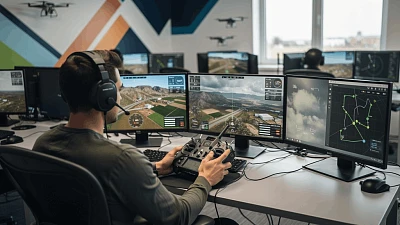
Critical Flight Modes: SAR operators must be proficient in Guided Mode, where the drone can be commanded to fly to a specific GPS coordinate instantly, and Loiter Mode, which allows the drone to hold a precise position over a point of interest while the operator analyzes the live video feed. In dynamic situations, rapid switching between manual control and autonomous loitering is a core skill.
Simulator Training Value: The UAVProf Simulator's "First Aid" mission is a perfect training scenario for SAR operations. Pilots must locate a target, navigate to a precise GPS coordinate, and deliver a payload—all while managing battery life and flight time. Practicing this in the simulator builds the decision-making speed and situational awareness that is critical in real emergency operations.
Choosing the Right License for Your Training Program
The depth of industry-specific training you can achieve depends significantly on the simulator license you choose. The UAVProf Drone Simulator offers three distinct license tiers designed to meet different operational needs.
The Base License ($990) is the ideal starting point for individual operators or small teams. It provides access to core basic maneuver training in both manual and autonomous flight modes, making it perfect for pilots who are building their foundational skills before specializing in a specific industry.
The Professional License ($4,900) is the comprehensive solution for serious training programs. It includes all industrial and racing missions, the complete catalog of UAV digital twins, all environmental condition simulations, and the QGroundControl emulator for mission planning practice. For training academies preparing operators for agriculture, construction, inspection, and SAR roles, this is the definitive package.
The Developer License (price on request) is designed for organizations that need to go beyond standard simulation. It provides access to open-source code, ROS and OpenCV tools, and the ability to develop custom AI for single-drone or swarm operations. This is the choice for research institutions and enterprise teams building proprietary autonomous flight systems.
The Importance of Scenario-Based Training
General flight proficiency is just the baseline. To be a valuable asset in the commercial drone industry, an operator must know how to execute the specific workflows of their sector. A pilot who has only practiced hovering and basic navigation will be unprepared for the demands of a real agricultural spraying mission or a high-stakes infrastructure inspection.
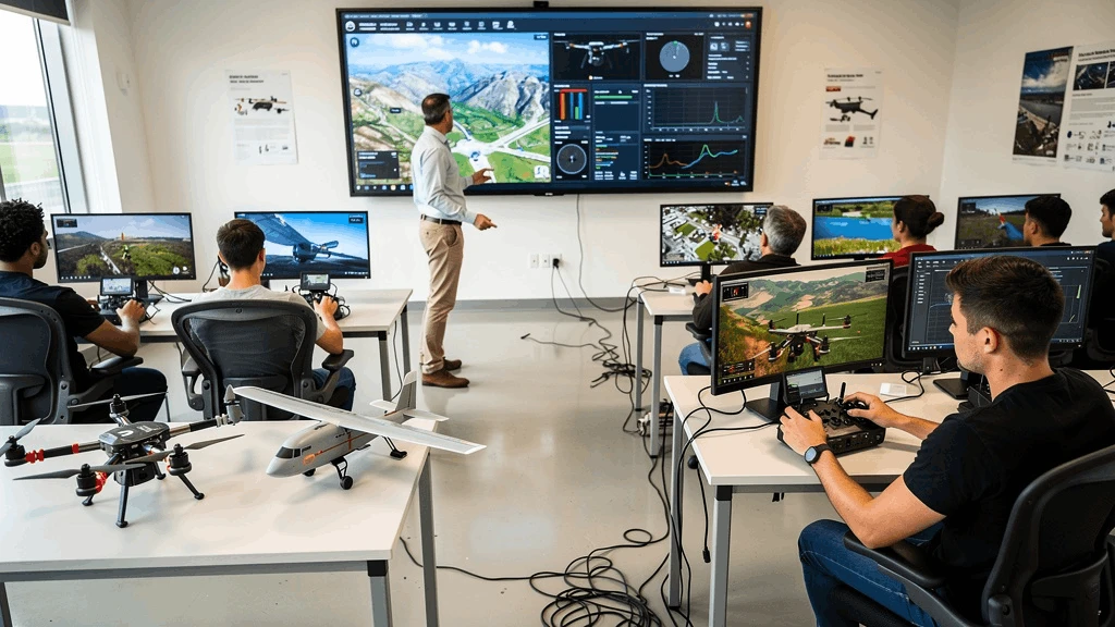
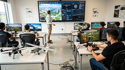
By utilizing a professional-grade simulator like UAVProf, training academies and enterprise drone programs can ensure their pilots are not just "drone flyers," but skilled industrial operators ready to execute complex missions safely and efficiently. The investment in simulation-based training pays for itself many times over by reducing real-world accidents, improving mission success rates, and shortening the time it takes for new operators to become fully productive.