UAVProf Drone Simulator:
Professional version
ชุดไลเซนส์ UAVProf Drone Simulator ครบชุดที่มีให้ในขณะนี้
เพิ่มเติม
$4,900
Drone
MR 801 is a drone designed to fulfill a wide range of professional tasks in cartography, geodesy, object monitoring, agriculture, and construction.
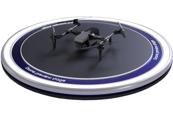

The drone is equipped with highly sensitive sensors and high-resolution cameras that enable the creation of detailed and high-quality terrain maps. This facilitates efficient solutions for applications such as aerial photography, inspections of power lines, pipelines, roads, and other infrastructure assets. Mathematical model simulates MR 801.
ทีมงานของเราจะติดต่อกลับพร้อมรายละเอียดเพิ่มเติมโดยเร็วที่สุด