UAVProf Drone Simulator:
Professional version
Un conjunto completo de todas las licencias del simulador de drones UAVProf disponibles en este momento
Más
$4,900
Drone
MR 801 is a drone designed to fulfill a wide range of professional tasks in cartography, geodesy, object monitoring, agriculture, and construction.
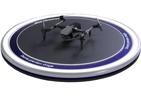

The drone is equipped with highly sensitive sensors and high-resolution cameras that enable the creation of detailed and high-quality terrain maps. This facilitates efficient solutions for applications such as aerial photography, inspections of power lines, pipelines, roads, and other infrastructure assets. Mathematical model simulates MR 801.
Nuestro equipo se pondrá en contacto contigo con más detalles lo antes posible.