$4,900
Drone
MR 801 is a drone designed to fulfill a wide range of professional tasks in cartography, geodesy, object monitoring, agriculture, and construction.
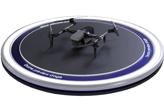

The drone is equipped with highly sensitive sensors and high-resolution cameras that enable the creation of detailed and high-quality terrain maps. This facilitates efficient solutions for applications such as aerial photography, inspections of power lines, pipelines, roads, and other infrastructure assets. Mathematical model simulates MR 801.
担当チームができるだけ早く詳細をご連絡します。