
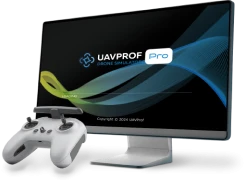
UAVProf Drone Simulator:
Professional version
Un ensemble complet de toutes les licences disponibles actuellement pour le simulateur UAVProf Drone
Plus
$4,900
Drone
MR 801 is a drone designed to fulfill a wide range of professional tasks in cartography, geodesy, object monitoring, agriculture, and construction.
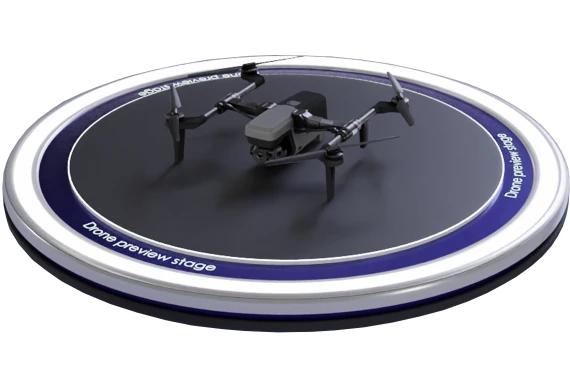

The drone is equipped with highly sensitive sensors and high-resolution cameras that enable the creation of detailed and high-quality terrain maps. This facilitates efficient solutions for applications such as aerial photography, inspections of power lines, pipelines, roads, and other infrastructure assets. Mathematical model simulates MR 801.
Un ensemble complet de toutes les licences disponibles actuellement pour le simulateur UAVProf Drone
Plus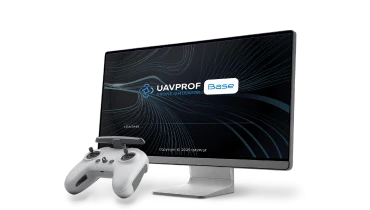
Licence de simulateur de base pour l’entraînement aux manœuvres fondamentales en vol manuel et autonome
PlusNotre équipe vous contactera avec plus de détails dès que possible.