
Drone
FW 401
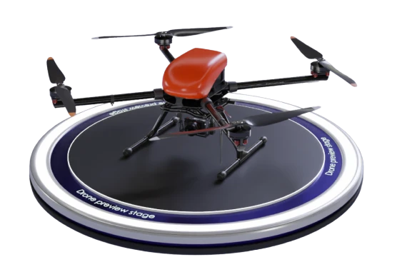
A drone designed for autonomous monitoring and aerial photography. Small takeoff weight and high flight speed ensure fast photography; onboard software handles data processing well.
Description
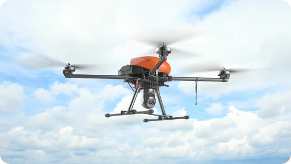
FW 401 is a UAV for aerial photography. The drone processes the collected data to generate a textured 3D terrain map. Thanks to its high-capacity 17,000 mAh battery, the drone can work for up to 60 minutes. The design allows for speeds up to 36 m/s on difficult terrain. The UAV can autonomously maintain the course and speed against a headwind up to 12 m/s. FW 401 features vertical takeoff and landing so starting the mission in a cluttered space (forest or built-up areas) is no problem. Mathematical model simulates Geoscal 401 Geodesia.
Masz pytanie?
Proszę zostaw poniżej swoją wiadomość i dane kontaktowe.
Nasz zespół skontaktuje się z Tobą z dodatkowymi informacjami tak szybko, jak to będzie możliwe.