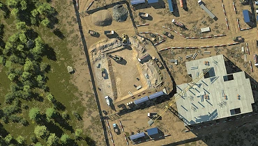
Construction Excavation Survey
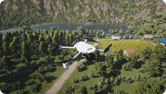
Conduct a photogrammetric survey of a construction excavation. Follow the planned flight parameters to collect accurate survey data.
더 보기수동 비행 훈련용 버전으로, 호환되는 RC 유닛 연결, 구성 및 보정 옵션이 있습니다. GCS 에뮬레이션에는 오픈 소스 QGround Control 소프트웨어가 사용됩니다.
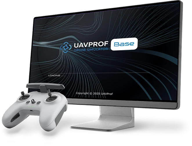
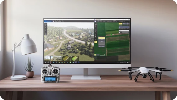
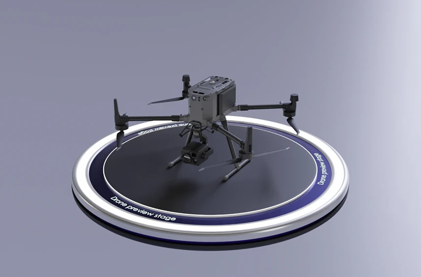
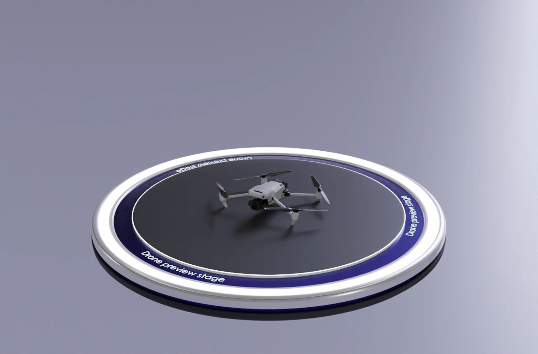
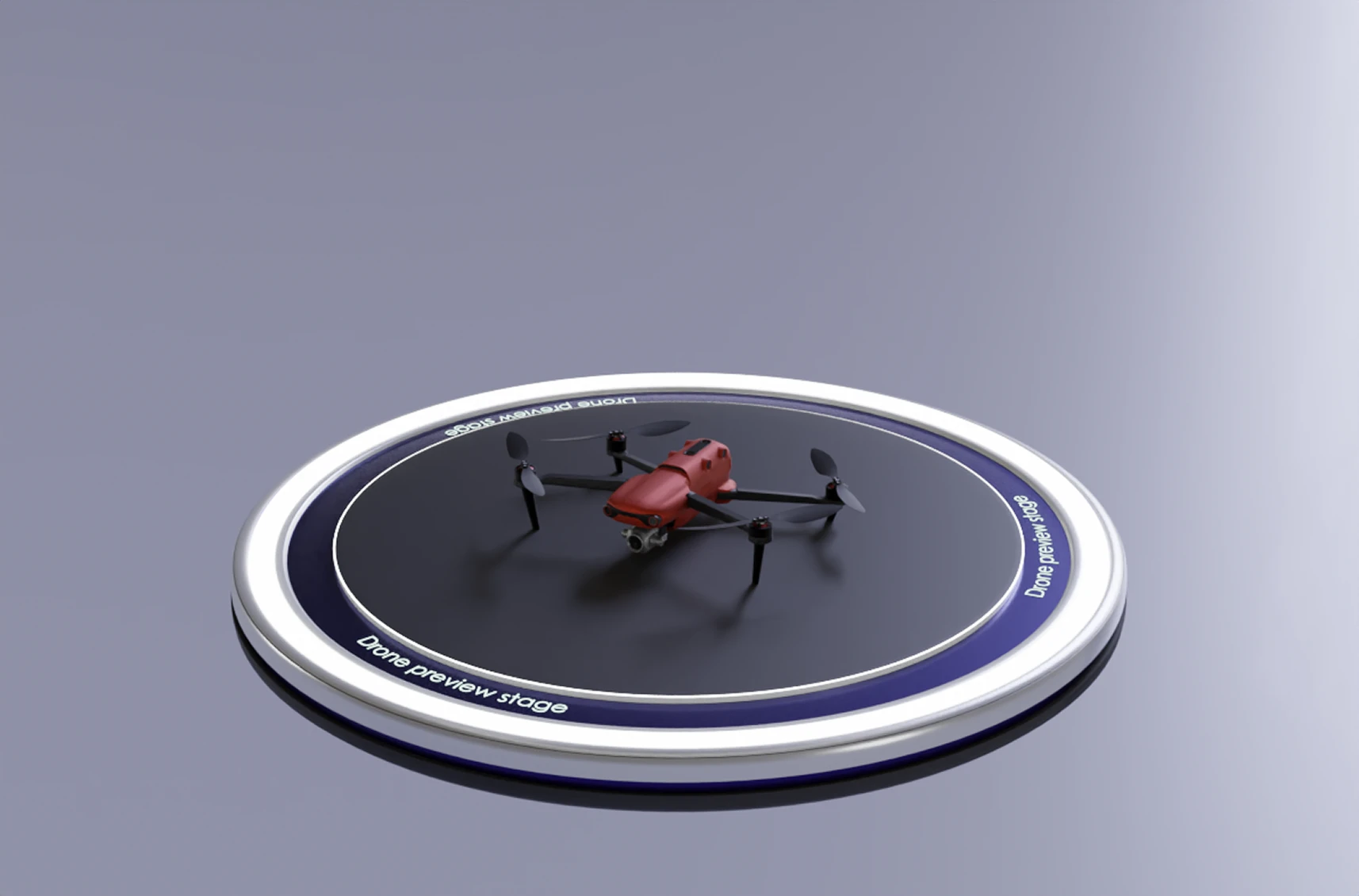
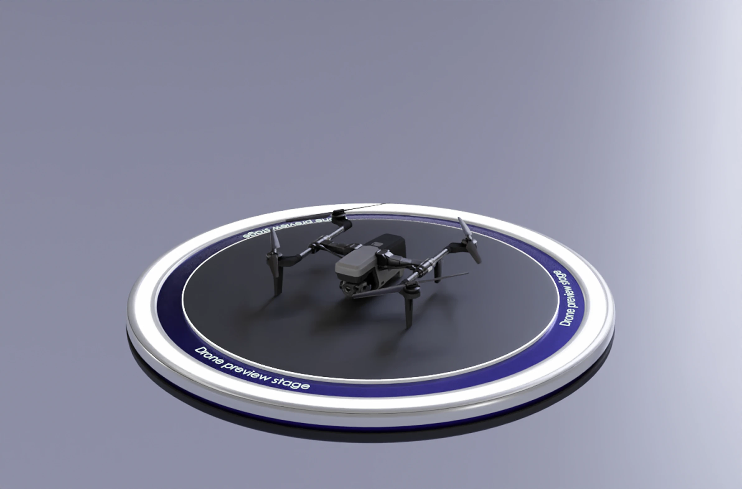
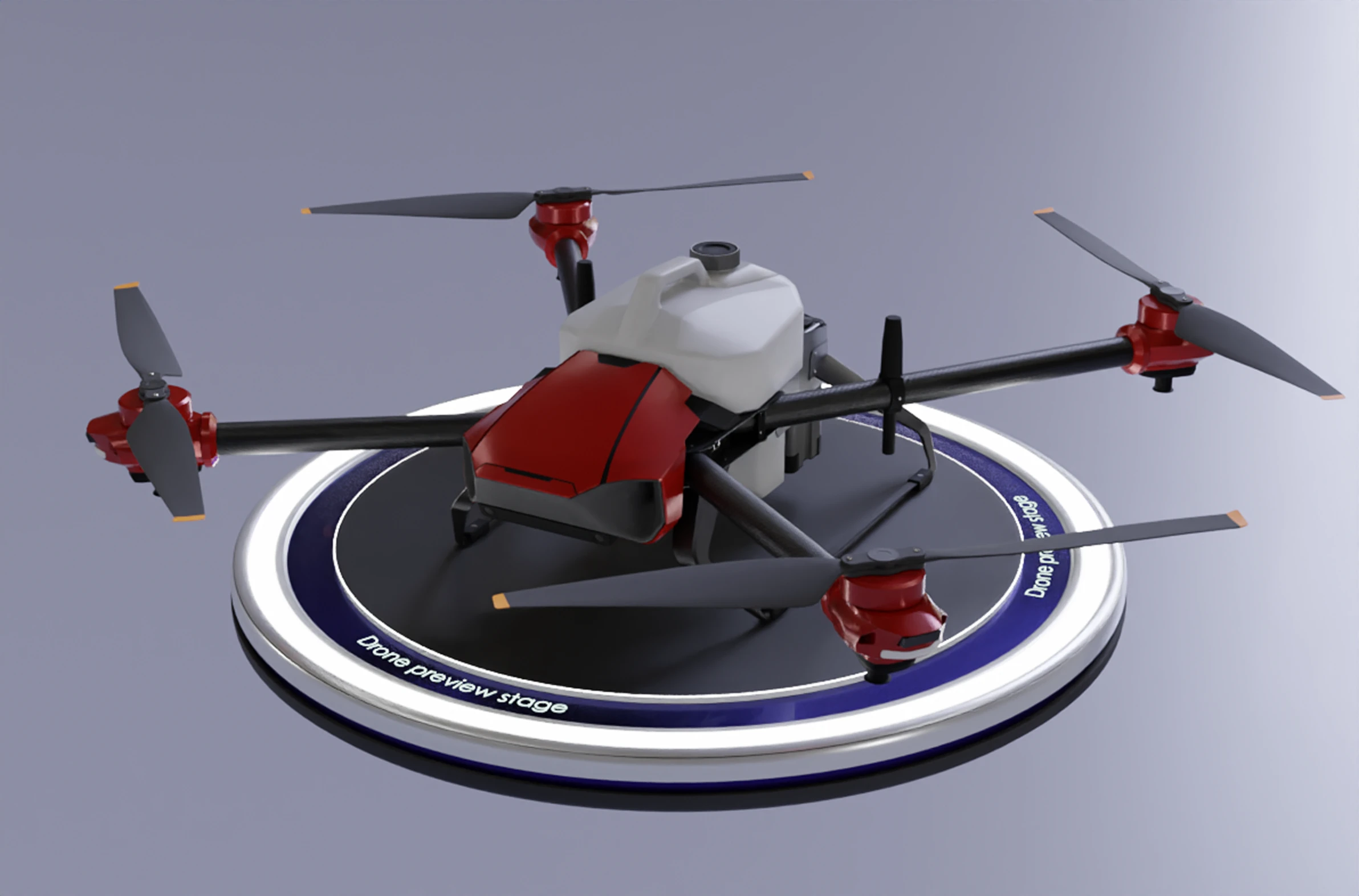
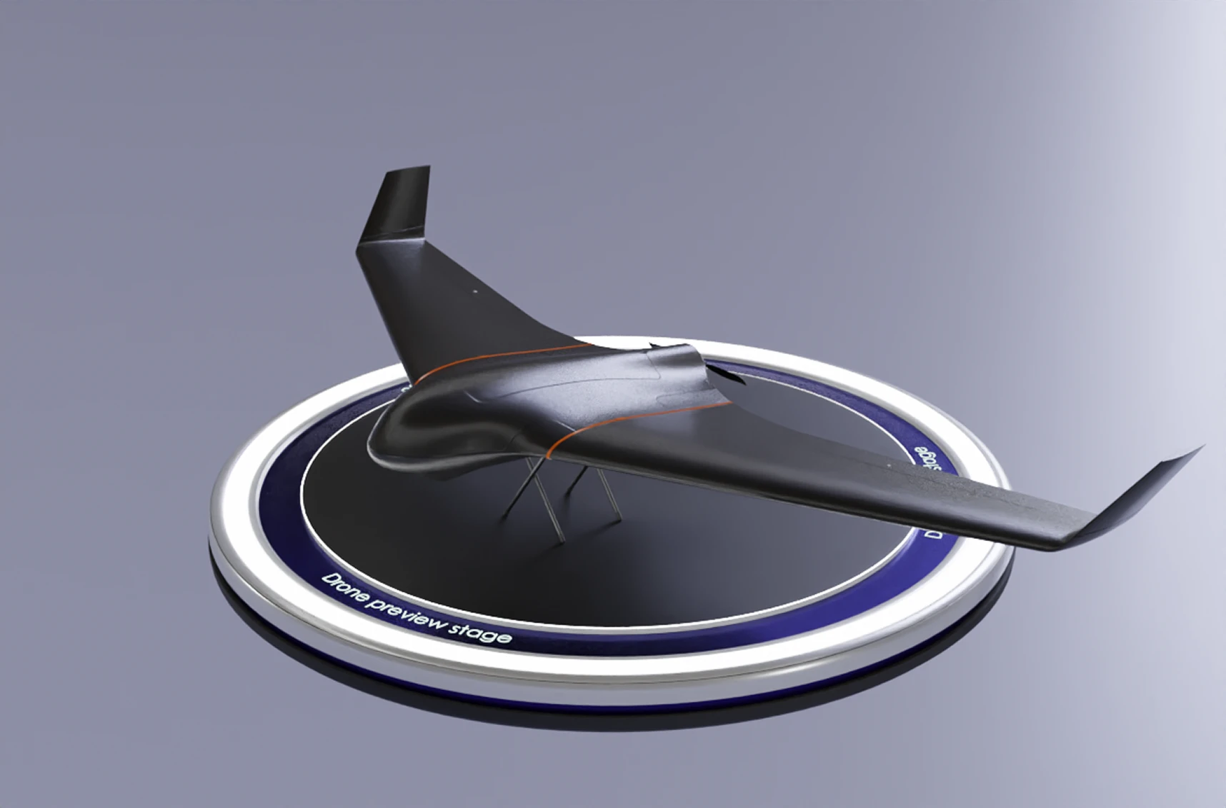
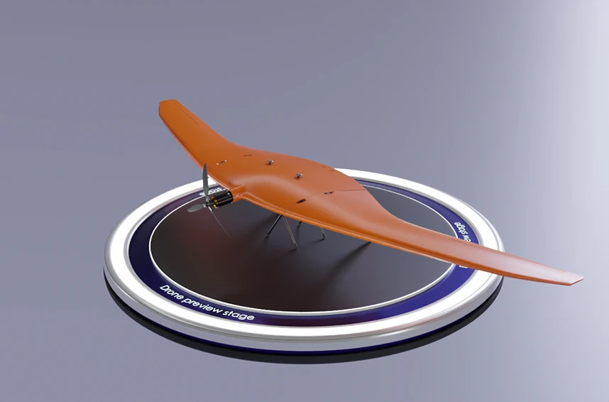
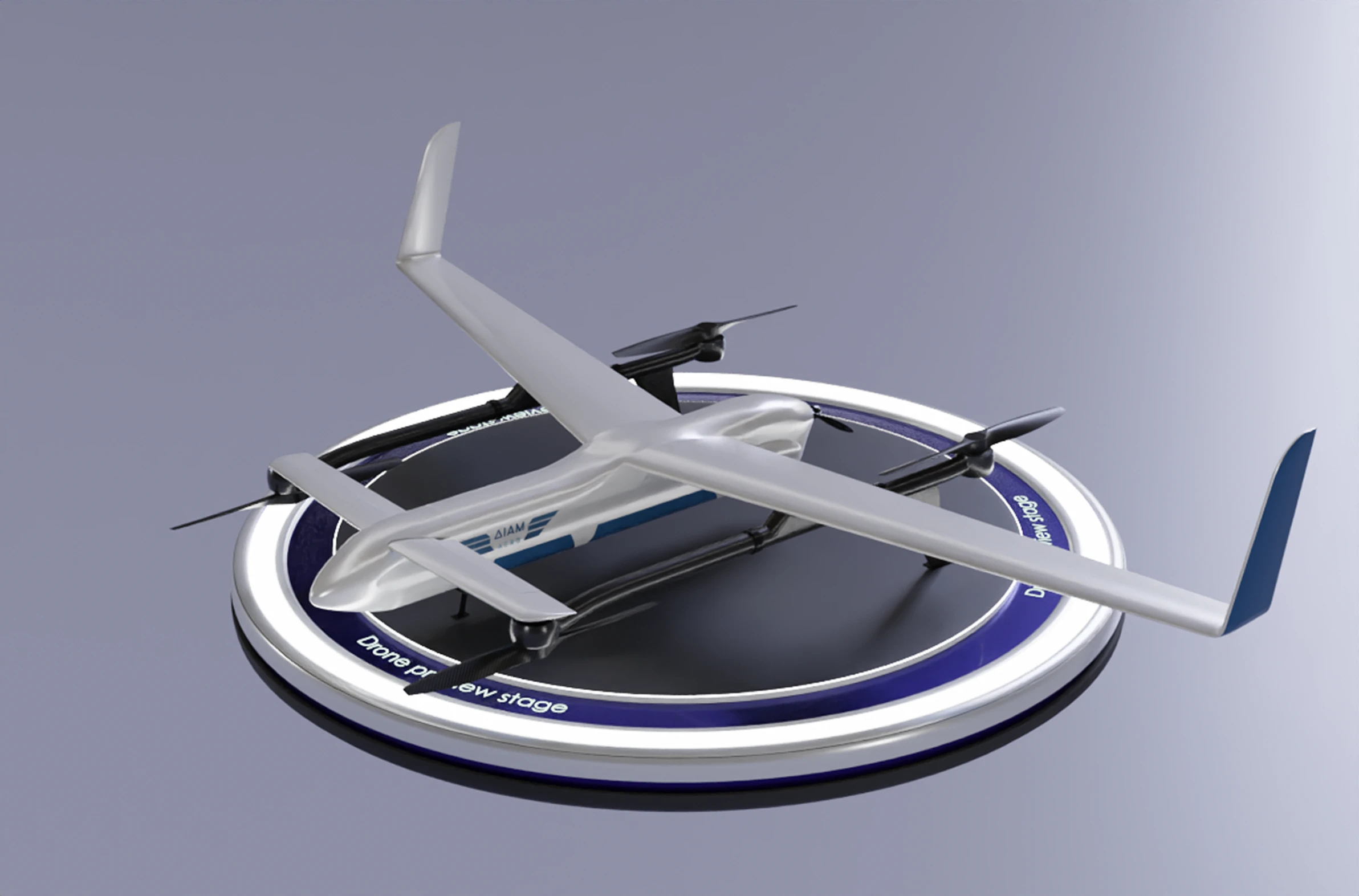
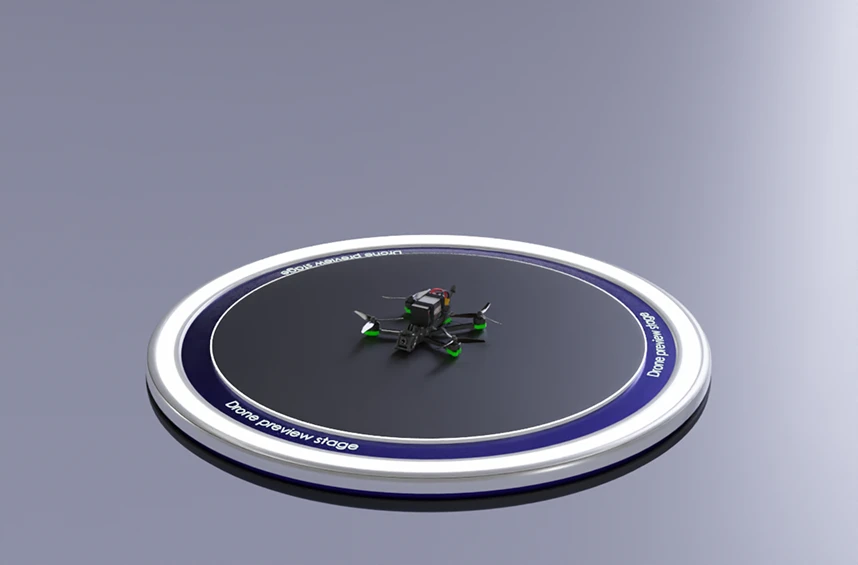
UAVProf Drone Simulator: Base는 수동 및 자율 제어 기술을 제공하는 기본 라이선스입니다. 멀티로터 UAV(EVO 2, Matrice 300, Mavic 3, Agras T10)와 고정익 UAV(D20K 및 기타 모델)의 조종 도구가 포함되어 있습니다. 이 버전은 오픈 소스 PX4 자동조종장치 또는 대안을 즉시 구성할 수 있습니다. GCS 시뮬레이션은 오픈 소스 QGround Control 소프트웨어가 제공하며, 지도 및 지형 렌더링 개선과 시뮬레이터 API와의 향상된 통합 기능을 포함합니다.<br> <br> 라이선스의 핵심은 RC 훈련 미션입니다.
Conduct a photogrammetric survey of a construction excavation. Follow the planned flight parameters to collect accurate survey data.
더 보기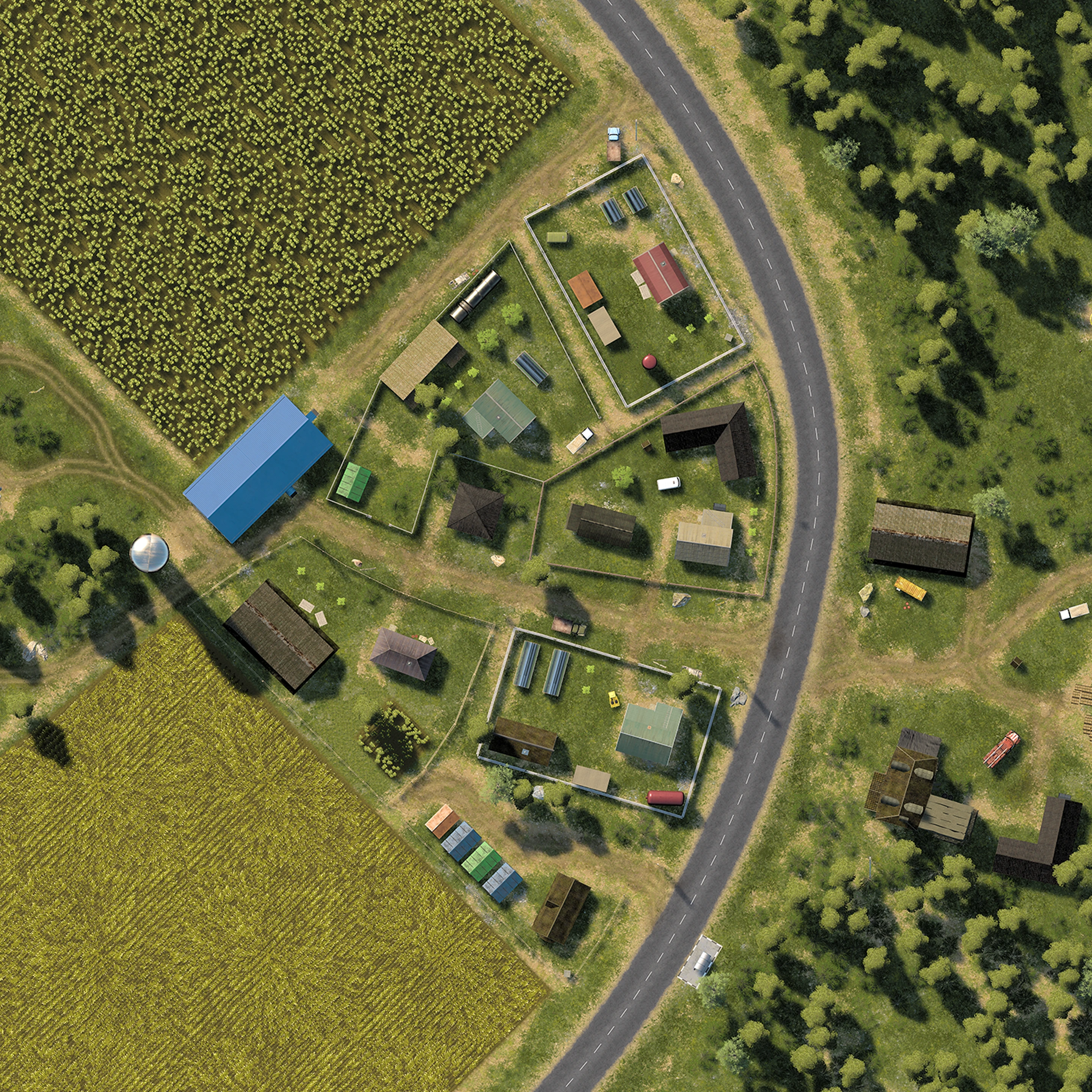
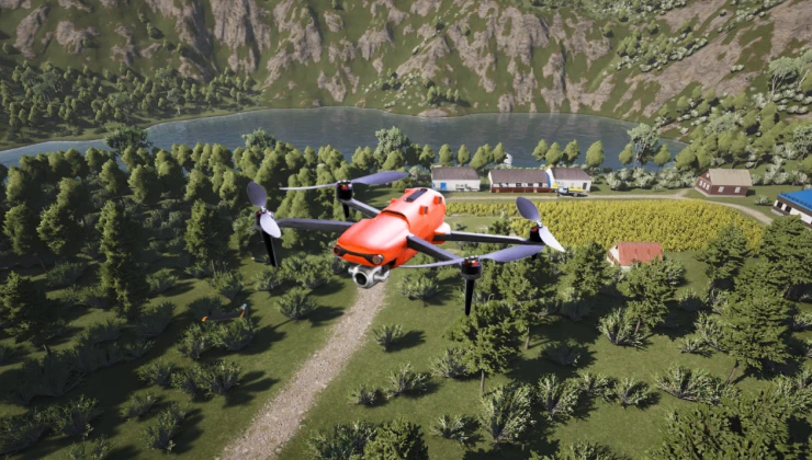
Complete a full aerial mapping mission of a rural village to produce accurate topographic data. To ensure accurate results, follow the mission parameters throughout the survey.
더 보기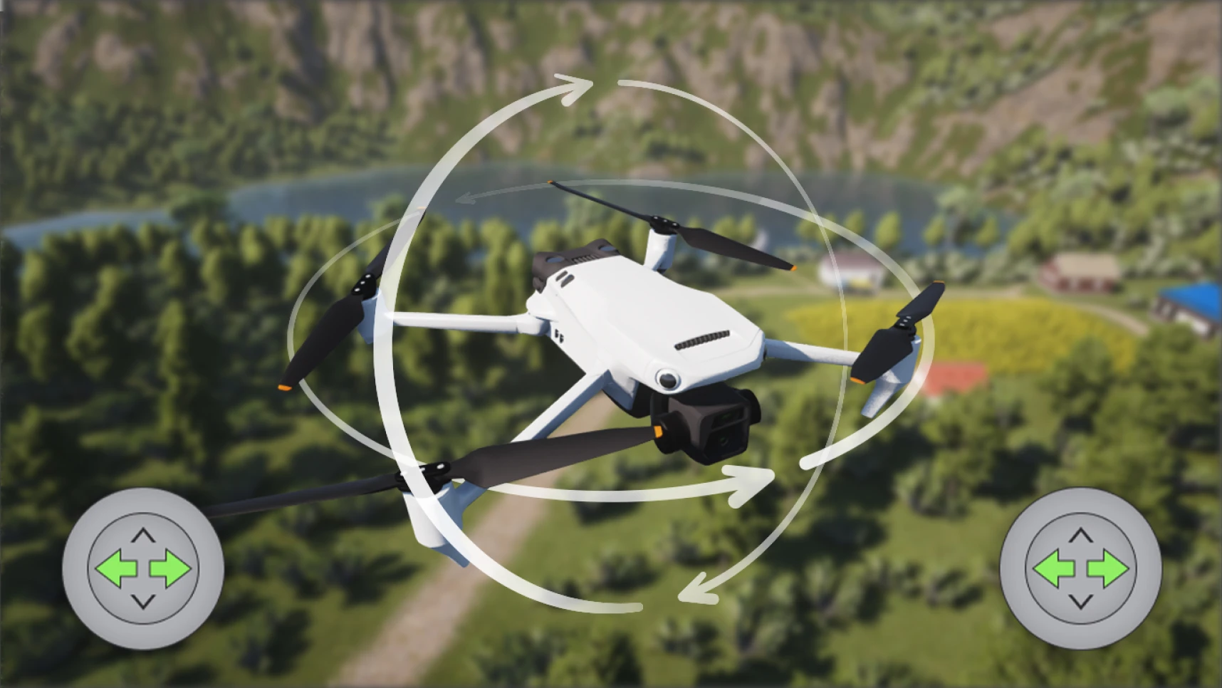
Start with the fundamentals of UAV operation. Practice smooth takeoffs, stable hovering, and accurate landings.
더 보기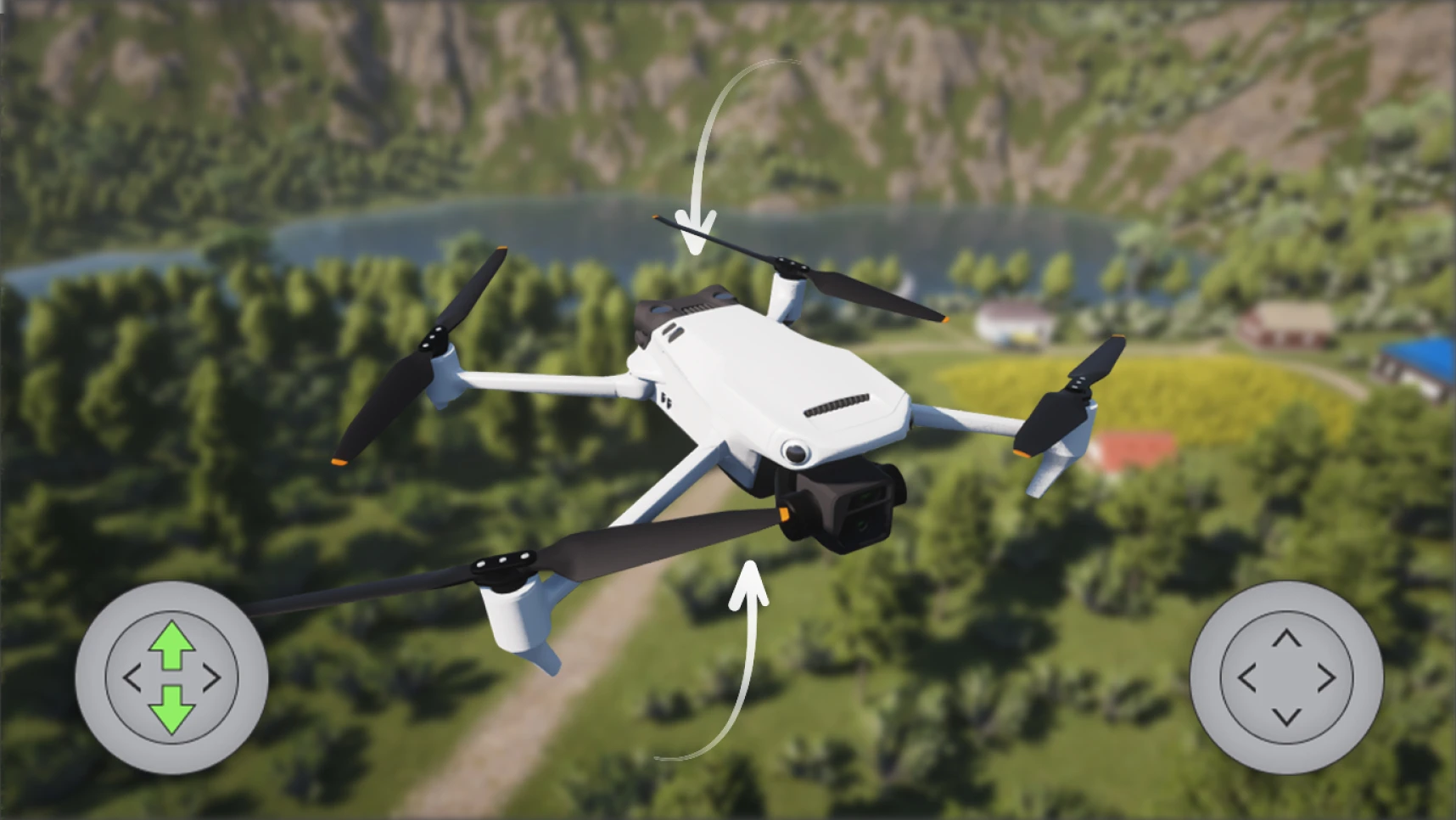
Practice pitch control and perform fundamental flight maneuvers. Improve stability and accuracy with every flight.
더 보기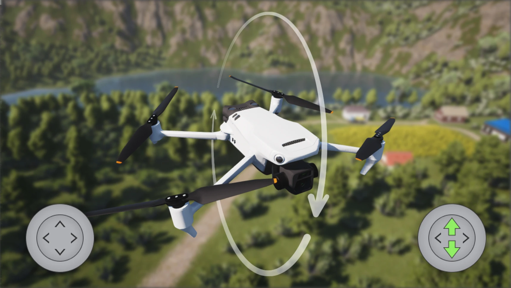
Practice coordinated roll and yaw control to perform smooth lateral movements and precise turns. Build the skills needed for confident UAV operation.
더 보기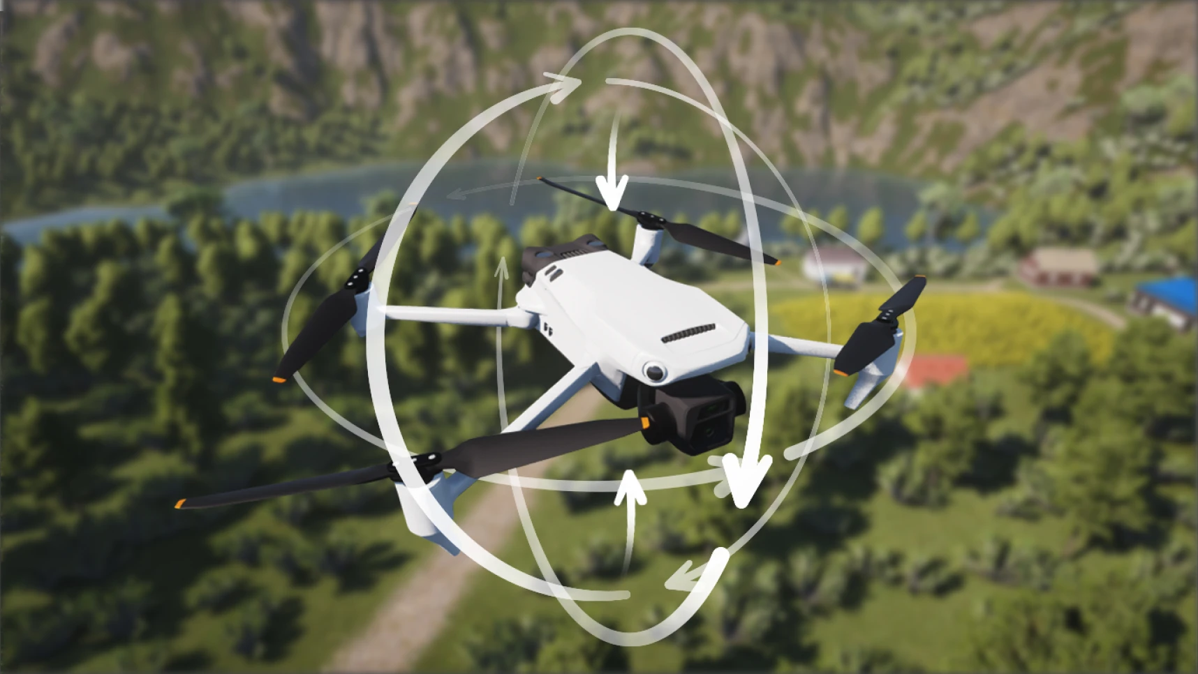
Combine everything you've learned into a complete flight exercise. Perform takeoff, hovering, pitch, roll, yaw, and landing with precision.
더 보기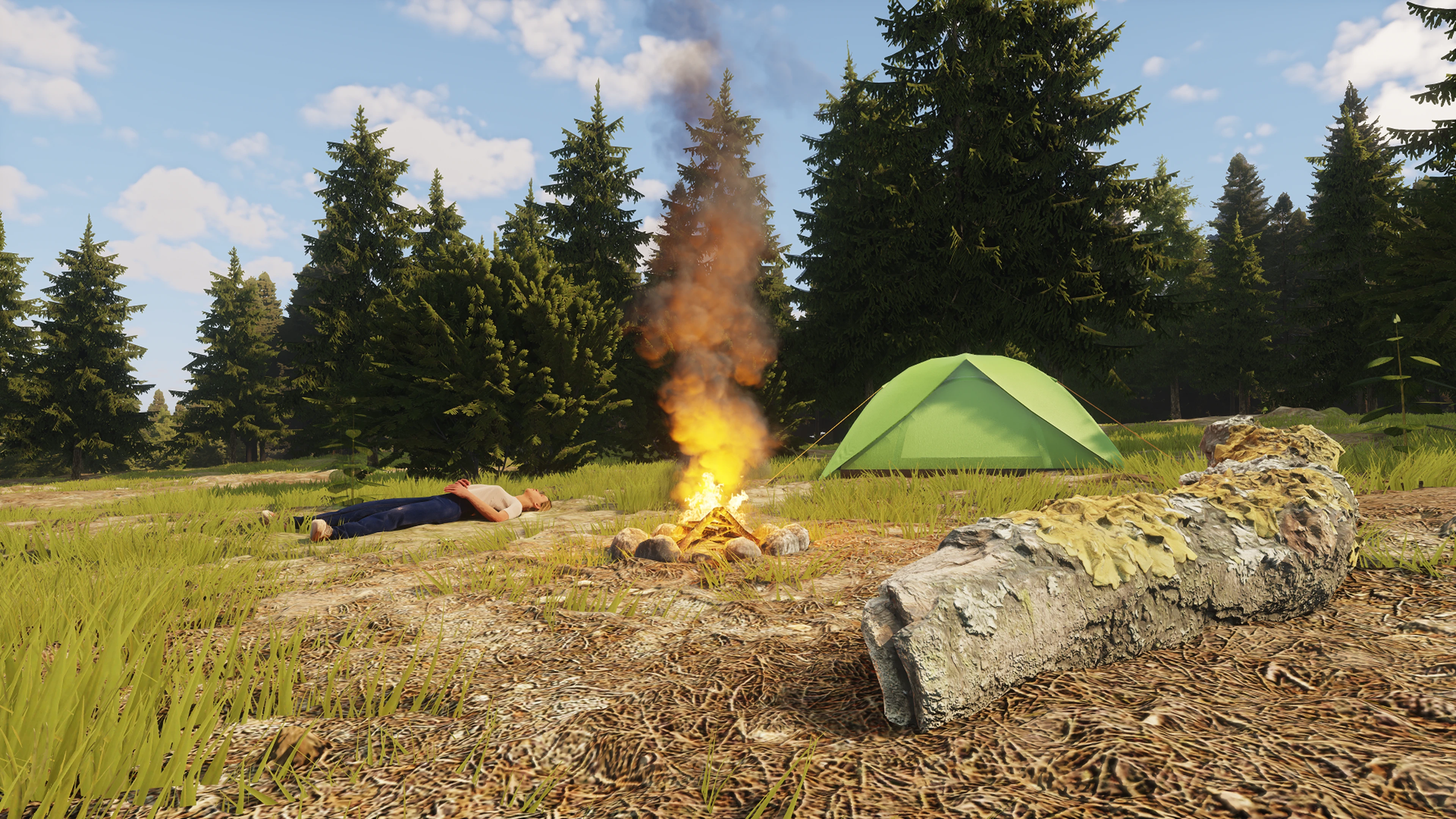
Respond to an emergency supply mission after a stranded hiker reports their location. An active wildfire has created a no-fly zone, requiring careful route planning, precise navigation, and accurate cargo delivery.
더 보기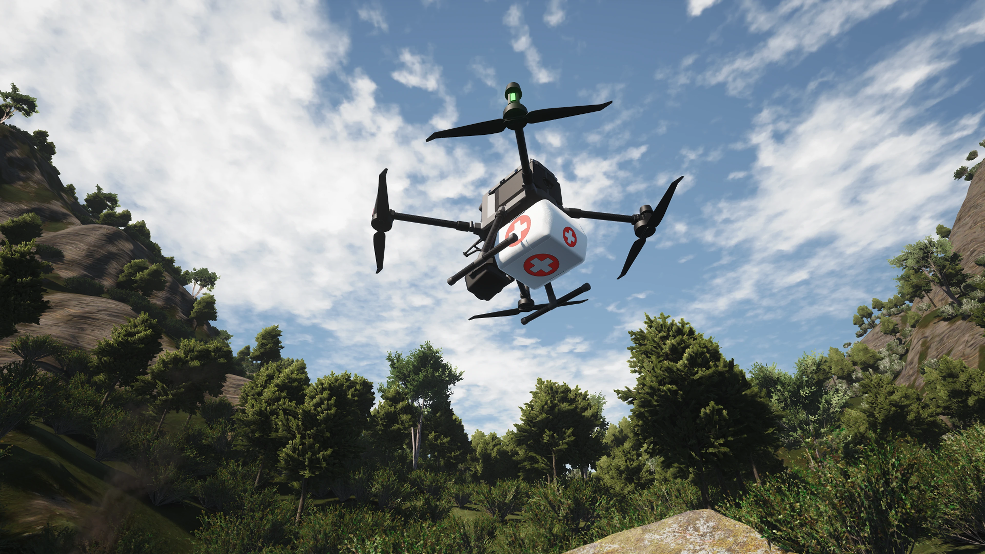
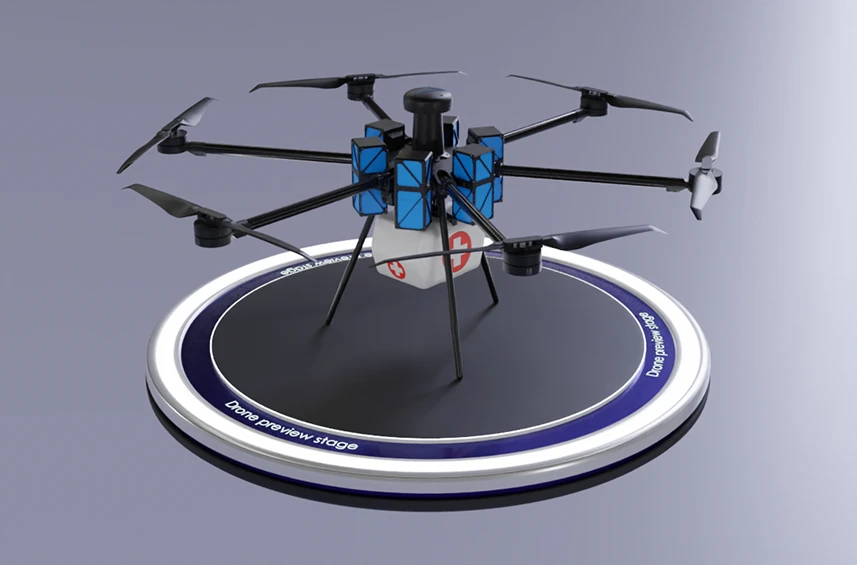
Respond to an emergency and deliver a first aid kit to a stranded hiker. Locate the survivor and complete the delivery quickly and accurately.
더 보기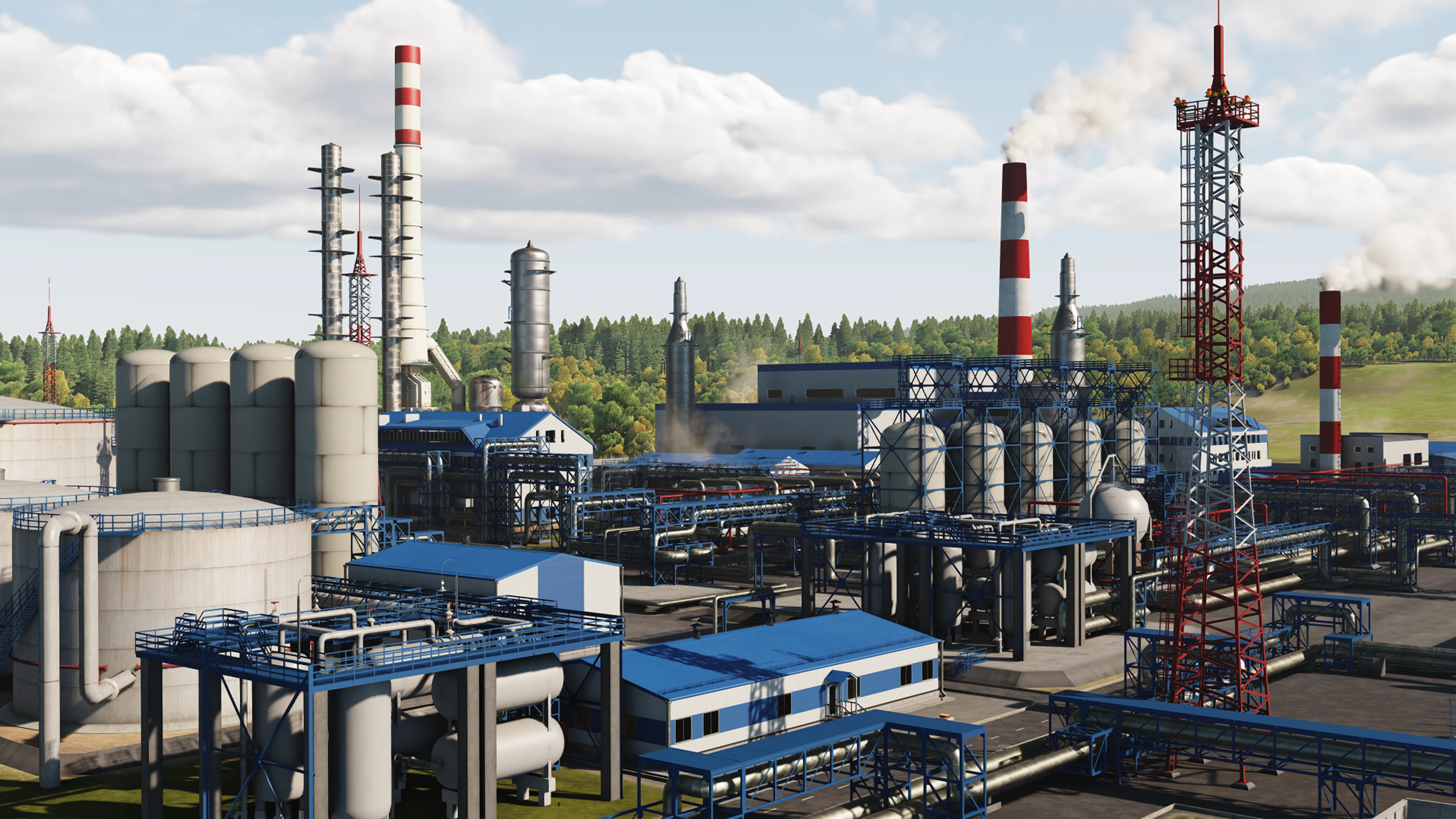
Take on a high-speed challenge inside a sprawling industrial refinery. Fly the course, avoid hazards, and reach the finish as quickly as possible.
더 보기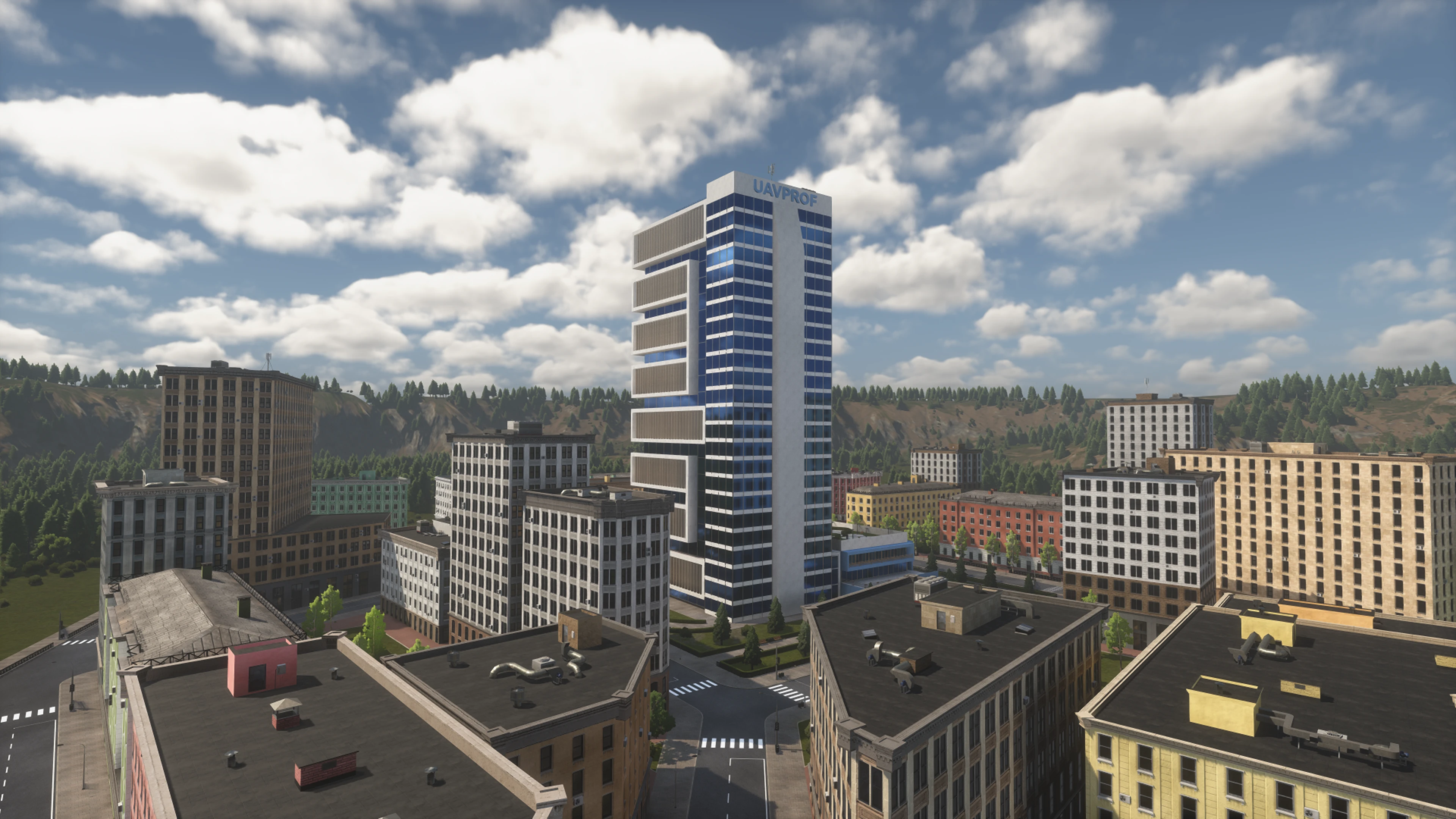
Explore a dense urban district and fly freely through its streets, intersections, and rooftops.
더 보기
Practice your UAV skills at an active construction site filled with cranes, unfinished buildings, and obstacles.
더 보기
Explore a contaminated coastline and fly freely over beaches, industrial facilities, and coastal waters.
더 보기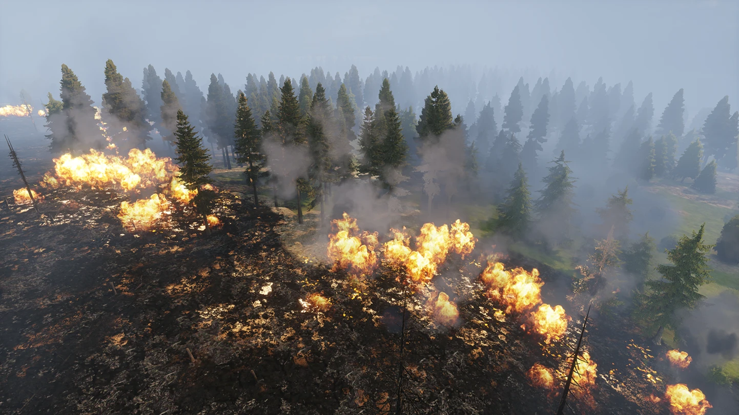
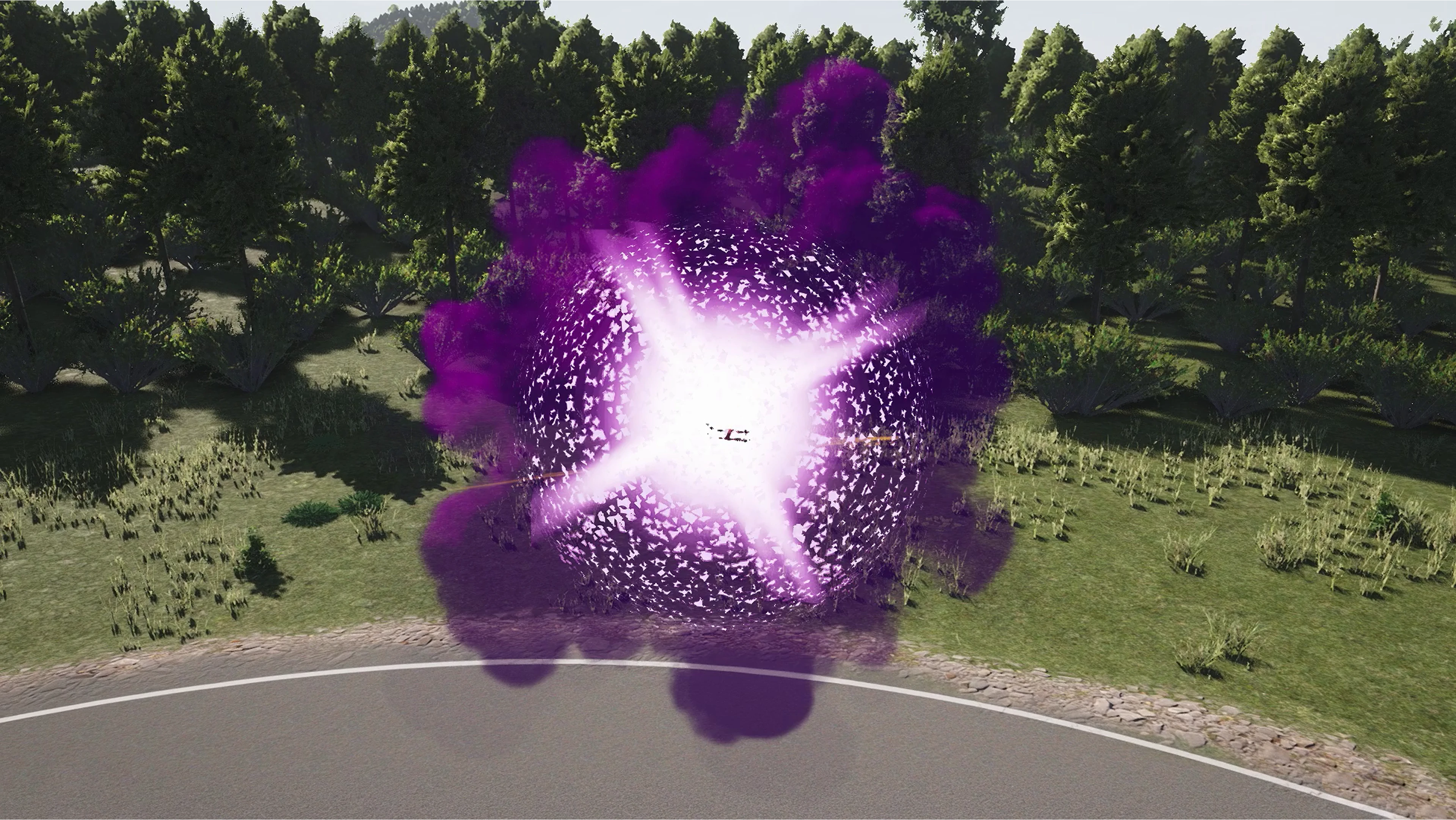
Navigate an open training range and pop every balloon with speed and precision. A fast-paced challenge designed to sharpen your piloting skills.
더 보기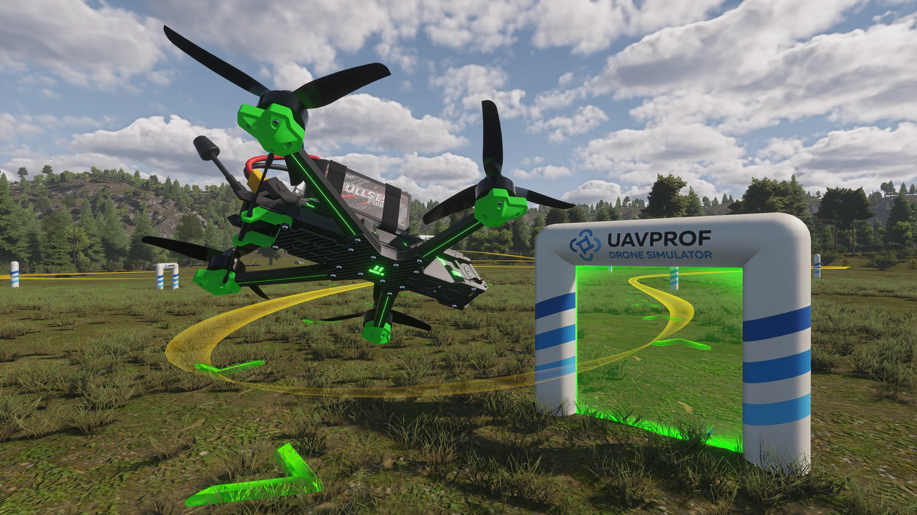
Test your speed and precision on a high-speed canyon course. Fly through the canyon, avoid obstacles, and maintain full control of the drone.
더 보기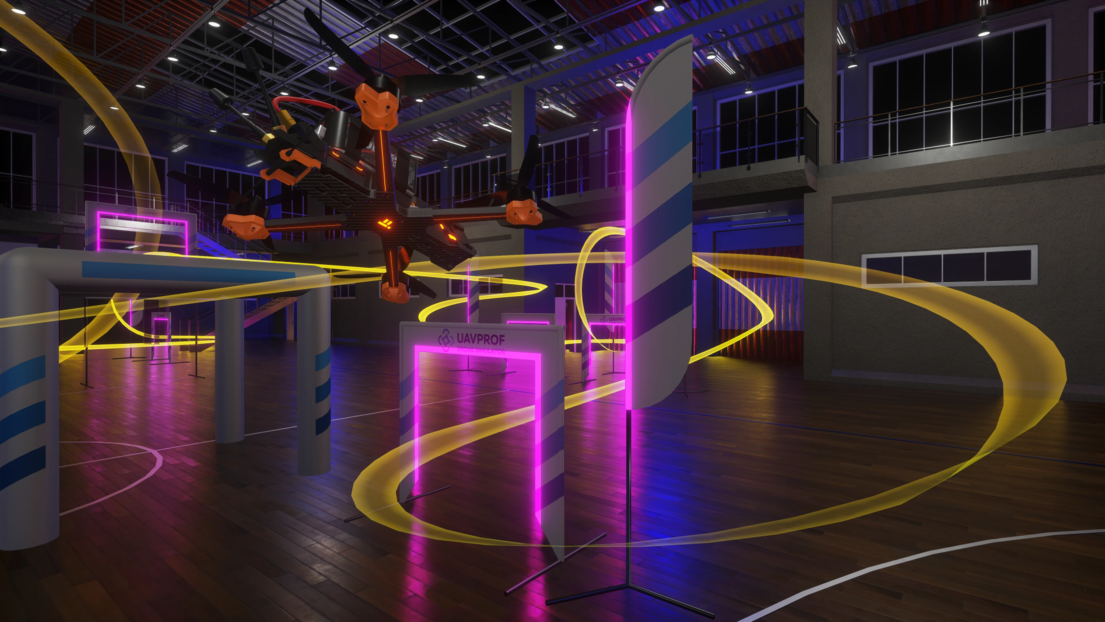
Master an advanced indoor racing course featuring steep dives, rapid direction changes, and challenging obstacles. Precision and timing are essential to complete the course.
더 보기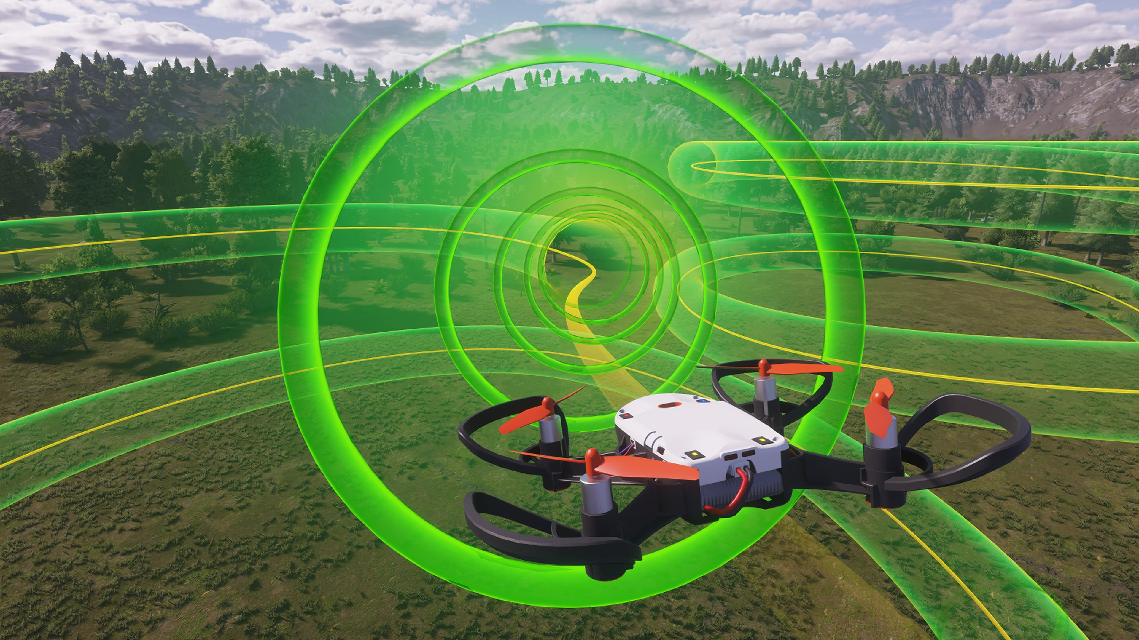
Race through a futuristic neon tunnel where tight turns and narrow spaces require precise control and quick reactions.
더 보기프로세서:
SSE4.2 이상을 지원하는 쿼드 코어 Intel i5
램:
16GB
GPU:
DirectX 11 / OpenGL 4.5 호환 프로세서 NVIDIA GeForce GTX 1660 super 이상
비디오 램:
6GB
빈 디스크 공간:
25GB
디스플레이:
1080p
운영 체제:
Ubuntu 22.04; Windows 10, 11
1) RadioMaster TX12 MKII
2) RadioMaster TX16S
3) TBS Tango 2
4) Jumper T-Lite
5) Flysky FS-i6
6) Flysky FS-i10
7) FrSky Taranis X9D Plus
8) FrSky Taranis Q X7

Unlock the complete UAVProf Drone Simulator with every training module, feature, and mission included. Get the full professional training suite in one comprehensive package.
더 보기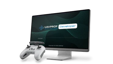
우리 팀이 가능한 한 빨리 더 자세한 내용을 알려드리겠습니다.